
RE/MAX Country Blog
 RSS Feed
Subscribe and receive email notifications of new blog posts.
RSS Feed
Area Information | 18 Posts
For Buyers | 1 Posts
For Sellers | 3 Posts
Lewisburg | 2 Posts
Outdoors | 4 Posts
Pocahontas County | 7 Posts
Real Estate Information | 1 Posts
May
15
15
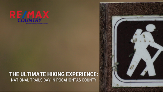
The Ultimate Hiking Experience: National Trails Day in Pocahontas County
The Allegheny Mountains are part of the Appalachians, stretching across four states. If you want to celebrate National Trails Day on June 3, our real estate agents can offer you lots of suggestions on some of the best places to enjoy this unique natural landscape.
Sponsored by the National Hiking Society, National Trails Day is the perfect opportunity to go out for a hike. No matter your skill level, there are many wonderful places to hike the Alleghenies. Camping, fishing, cycling, and wildlife viewing are often available on trails.
Let's take a walk to some of your hiking options near Pocahontas County:
- Cass Scenic Railroad State Park – 13263 Cass Road, Cass, WV 24927
Cass Scenic Railroad State Park commemorates the history of West Virginia rail with trails following the old train tracks. The trails are suitable for both hiking and mountain biking. The park itself offers bike rentals and lodgings. As a National Radio Quiet Zone, it will provide you with a true chance to disconnect. - George Washington & Jefferson National Forests – See Website for Location Information
George Washington & Jefferson National Forests feature nearly 2,000 miles of trails as well as open forest roads and gated forest roads closed to vehicle traffic. Permits are not required. On your way, you are likely to encounter bicyclists and horse riders, but you won't have to worry about motorized traffic most of the trip. - Greenbrier River Trail – See Website for Location Information
Greenbrier River Trail wends its way along the Greenbrier River with 78 miles of trails. It crosses 35 bridges and a number of small communities offering astounding views. It is one of the 50 Millennium Legacy Trails of the U.S. and has won numerous awards from hiking and backpacking publications. - West Fork Trail – See Website for Location Information
West Fork Trail is an offshoot trail of the Greenbrier River. With a length of 22 miles, it passes across Pocahontas and Randolph Counties in West Virginia. Much of the trail is crushed stone or gravel and can also be used for cycling. Tent camping is available in some mountain valley locations. - The Allegheny Trail – See Website for Location Information
The Allegheny Trail is currently 310 miles, with the last 20-mile stretch now underway. Its northern terminus marks the Mason-Dixon line at the border of Pennsylvania and West Virginia. Hikers can experience no less than three state parks, four state forests, two national wilderness areas, and a national forest. - The Cranberry Wilderness Area – See Website for Location Information
Part of Monongahela National Forest, The Cranberry Wilderness Area stretches across an astonishing 47,000 acres, much of which is located in Pocahontas County. Elevations range anywhere from about 2,600 to more than 4,600 feet. Motor vehicles are restricted, leaving most areas wide open for hikers. - High Rocks Trail – See Website for Location Information
High Rocks Trail is also found within Monongahela National Forest and is considered one of the easier trails there. It is an "out and back" style trail of just over three miles. Suitable for hiking and walking, it is especially well known for the great diversity of birds living nearby. Dogs are welcome when kept on a leash. - Beartown State Park – 4800 Watoga Park Road, Marlinton, WV 24954
Beartown State Park was set aside for conservation purposes in 1970, and development there has been minimal ever since. It is known for its caves and crevasses, which early supporters believed were ideal for the native bear population. A boardwalk makes it easy to explore.
Contact us to learn more about local real estate opportunities.